NIWA helps Council survey Sounds seafloor
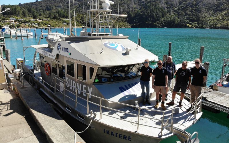
NIWA scientists and crew on the vessel Ikatere
The research vessel Ikatere has been exploring biodiversity on the seafloor in Te Hoiere/Pelorus Sound.
The initial phase of this survey, which kicked off in mid-March, wrapped up last week.
Council’s Principal Coastal Scientist Oliver Wade said a vital part of effectively managing the marine ecosystem was to develop a comprehensive understanding of its diverse elements.
“This information can be used to identify significant habitats and areas of biodiversity, enabling the Council to explore ways to preserve these area,” he said.
“It can help inform policies directly related to the coastal marine area, whether involving the placement of marine farms or places where people can anchor vessels. It can also enhance our understanding of the impacts of land use on the marine environment.”
Mr. Wade said that land erosion, worsened by storms over recent years, had a considerable effect on the seafloor.
“We are observing significant sedimentation due to erosion. This material settles and accumulates on the seafloor, creating a lasting legacy that doesn’t disperse. It poses a major problem.”
Council is funding the work, which is managed by a committee comprising DOC and Fisheries NZ and Council, with the support of Ngāti Koata and Ngāti Kuia who gifted the project the name Te Hoiere Ine Parumoana.
NIWA marine ecologist Dr. Mark Morrison says the survey used a towed camera system CoastCam to map animal species, habitat and geology.
“As part of this systematic sampling, we sought new areas of important habitat, including those that support ecosystem functioning, biodiversity and fisheries. We also conducted limited sampling to determine if juvenile snapper nurseries, previously sampled in the 1980s, still exist today, including areas now covered by mussel farms.”
This survey marks the third phase of the Te Hoiere Ine Parumoana project. The information gathered will contribute to the analysis of seafloor mapping data collected in 2020. To learn more, go to: marlborough.govt.nz/environment/coastal/seabed-habitat-mapping