

One year of CoastSnap at Rārangi
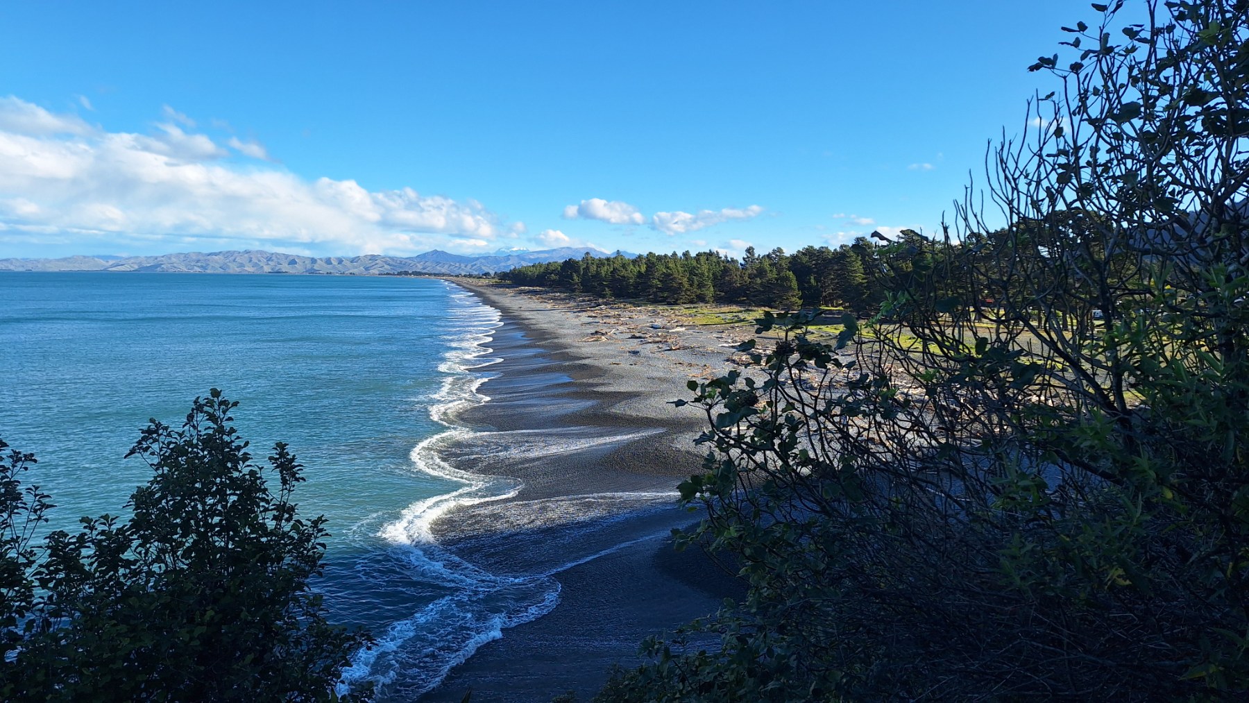
Did you know Rārangi has its very own CoastSnap station?
Installed at the Monkey Bay steps in 2025, the CoastSnap station has spent the past year helping Council's Coastal Science team collect data along the coastline.
Coastal Scientist Jorgia McMillan said every photo taken by members of the public contributes to a growing record of how Rārangi Beach is changing over time, highlighting the important role the community plays in helping monitor the coast.
“CoastSnap is a low-cost community beach monitoring programme that turns smartphones into valuable scientific tools.
“All you need to do is place your phone in the cradle, take a photo, and scan the QR code to upload your image. You can also use the free CoastSnap app or share your photos using #CoastSnapRārangi.
“After 5 years, these images will be analysed with shoreline tracking technology to help us better understand the effects of storms, tides, wave action and seasonal change on this dynamic stretch of coastline,” Jorgia said.

