

Digging deep: exploring Marlborough’s hidden waterways
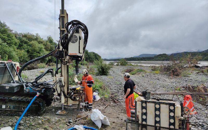
Sonic well drilling for Council at Wairau River in 2022
What lies beneath the Marlborough coast may reshape our understanding and future resilience of the region’s water systems.
Council is planning a bold scientific project to explore the deep geological secrets below Te Kopu-o-Kupe / Cloudy Bay. A recent GNS Science report recommends a staged exploration of the deep groundwater reserves beneath the Wairau Plain - an area scarcely explored.
Currently, most of the water used in the Wairau comes from relatively shallow aquifers; however, the deeper layers could hold valuable insights and resources.
The sonic test bore drilling is anticipated to start in 2027 at a site south of the Wairau Diversion. Reaching depths of 200 metres, the bore will reveal details about the underground geology, the presence of aquifers, and the boundary between freshwater and seawater. This area is thought to contain thick sediment layers deposited by ancient rivers and shifting seas, potentially hundreds of metres deep.
Instead of looking for new water sources, this project will improve our understanding of Marlborough’s groundwater systems, from shallow aquifers to deep strata. It’s an essential step towards mapping the freshwater - saline boundary and preparing for future changes caused by sea-level rise and climate pressures.
Drilling on the coast could reveal stacked aquifer systems similar to those found beneath Christchurch and Lower Hutt. If confirmed, this would represent a major step forward in our ability to manage water sustainably and prepare for future challenges, such as liquefaction and saltwater intrusion.

