


Wells Aotearoa New Zealand
Below is the description of the Wells Aotearoa New Zealand database, the information it contains and who would find the information it contains valuable.
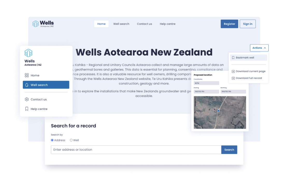
MDC have operated an electronic database of Marlborough wells since the mid 1980’s with the current system containing the details of more than 8,000 wells, with several new records being added on average each week. Prior to the introduction of the electronic version, the Marlborough Catchment Board kept an inventory of wells in a paper-based system.
Knowledge of where wells are located, their dimensions, the lithology of the sediments they intercept and well productivity have always been of interest to regulators, well owners, consultants, crown research institutes, well drillers and the public.
Making this information publicly available is a prime role of MDC, especially for the Wairau Plain with its reliance on groundwater for drinking, crop irrigation and food processing/industrial purposes.
Various electronic databases have been developed over time with each system providing improved features for storage and interrogation. The decision was made by MDC in 2026 to transition to the national database called Wells Aotearoa New Zealand (WANZ), and that is the system currently in use. The advantages of being part of the national database include support from most large New Zealand councils for software changes and a more secure future.
Details of geotechnical tests or holes used to be added to the database, but these are now stored in the National Geotechnical Database created by EQC to accommodate the wealth of land testing data generated following the Christchurch earthquakes in particular.
Wells or bores are the same thing – a hole in the ground to access water or to test the quality or level of groundwater. Attached to the database are related documents for each well such as drillers logs, photos, chemistry tests and aquifer tests that reside in the MDC filing system.
Under the proposed Marlborough Environment Plan, constructing a well/bore in Marlborough district is a permitted activity in most areas if certain conditions are met. These include a minimum separation distance from human effluent disposal systems or other wells, and records of the well are provided to MDC. There are exceptions to the permitted activity class for some zones such as residential or groundwater protection areas.
Wells Aotearoa New Zealand (WANZ) is available to the public in read only form and is also the source of information displayed on the Marlborough District Council website smart maps.

